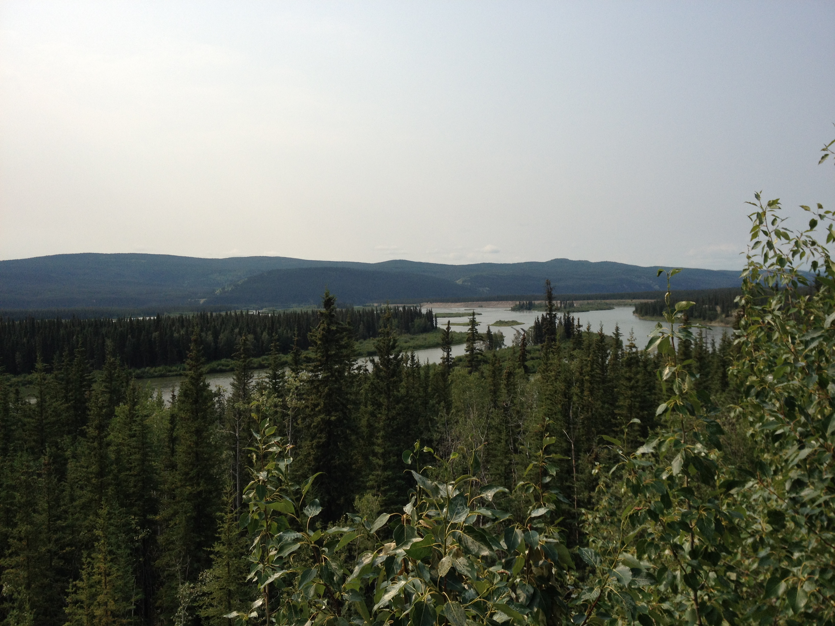
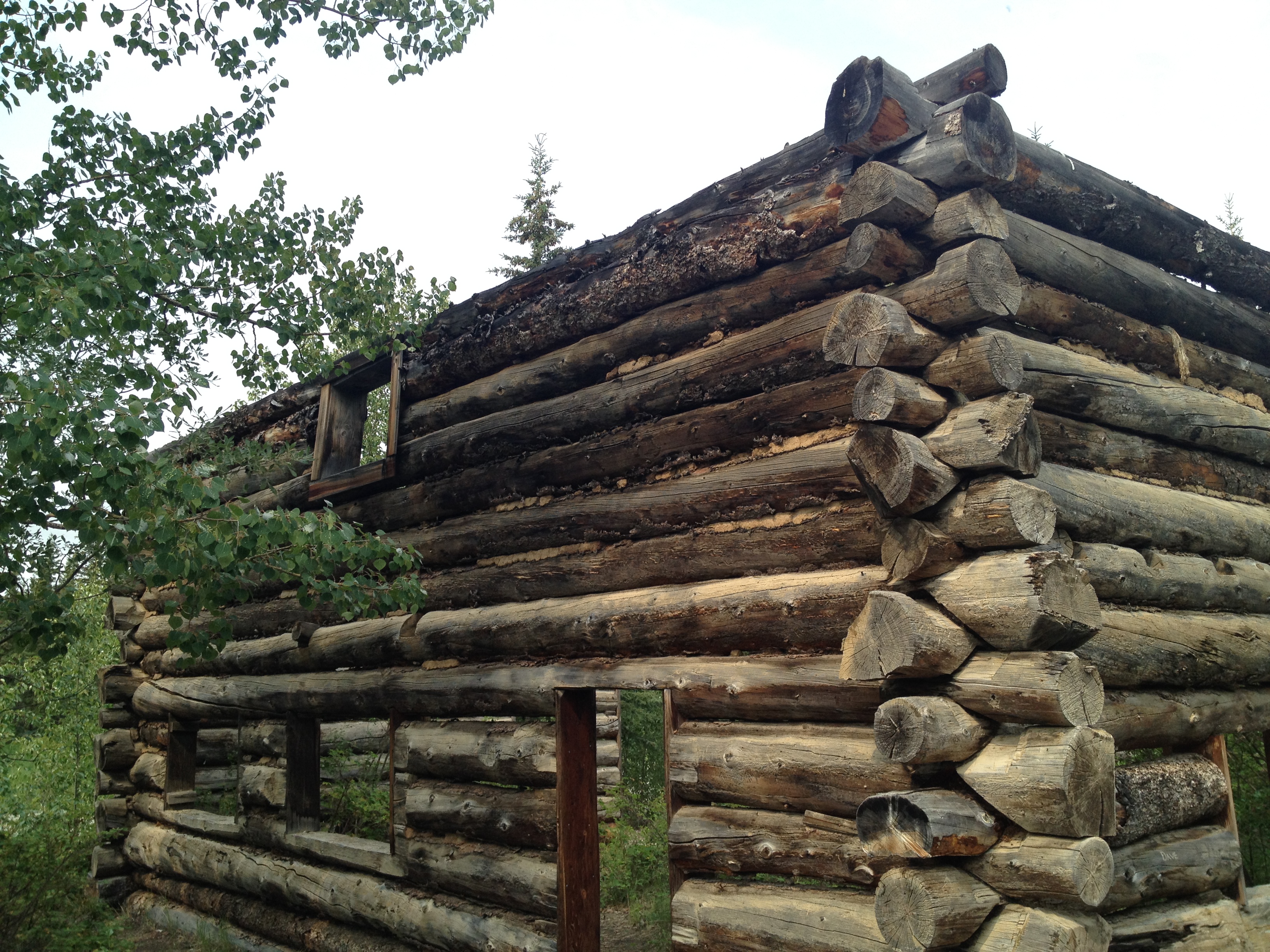
The drive between Whitehorse and Dawson City along Yukon’s Highway 2, the Klondike Highway, is littered with iconic place names– the Yukon River, Lake Leberge, the Klondike– and winds its way through northern forests of birch and black pine, past rivers and lakes. We made the trip in a very easy day of driving, but at the remains of Montague House, a one-time stagecoach stop, we learned about the stagecoaches that once carried people along the route throughout the winter, taking on average about five days!
Throughout our drive, we frequently sought information from The Book– not the Hitchhiker’s Guide to the Galaxy, but the Milepost, the Bible of the North. Without it, we would not have known for whom all the little rivers and lakes we passed were named, or the population of Carmacks (444) or Pelly Crossing (296), or that one of the World Famous Cinnamon Buns from the Braeburn Lodge will feed four people. I spent the day with The Book in my lap, and referred to it continually.
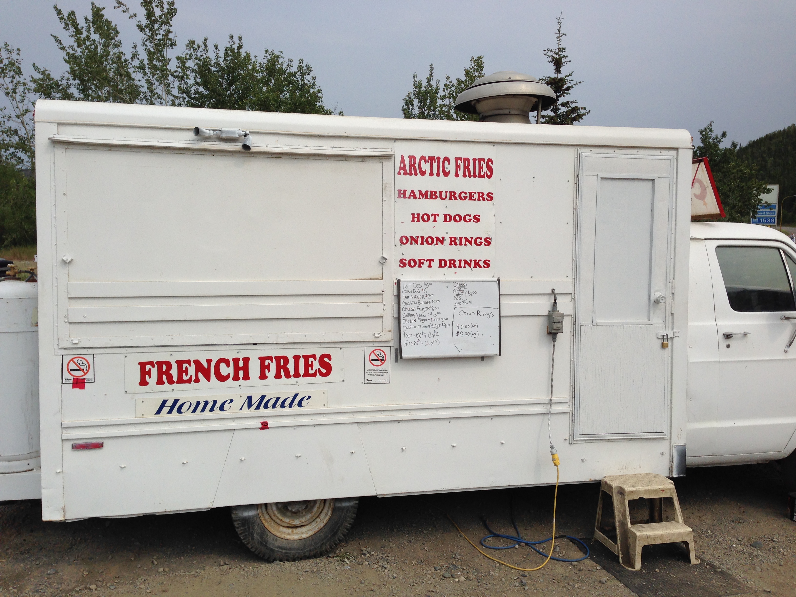
We stopped at the historic village of Carmacks (population 444; see above), where the highway rejoined the Yukon River. There was a great little pit stop at a shop in an old RCMP barracks, run by a friendly woman who sold homemade ice cream floats and milkshakes. (This woman would recognize us on our return a few days later, and ask us about our trip, as she had never gone up the Dempster herself.) We travelled alongside or across numerous rivers throughout the day– the Yukon, the Pelly, the Stewart, and eventually the famed Klondike. It felt momentous enough to us; I could imagine how the prospectors must have felt after long travels through the wilderness to get there.
We passed the entrance to the Dempster Highway, to which we would be returning the next day. For now, a nice dinner and hotel awaited us in Dawson City. We followed the Klondike to its confluence with the Yukon, where the town sits between the two. We had Greek food for dinner and wandered around the boardwalk-edged streets, but the majority of our time in Dawson was spent after our adventures in the High Arctic, on our way back down to Whitehorse.
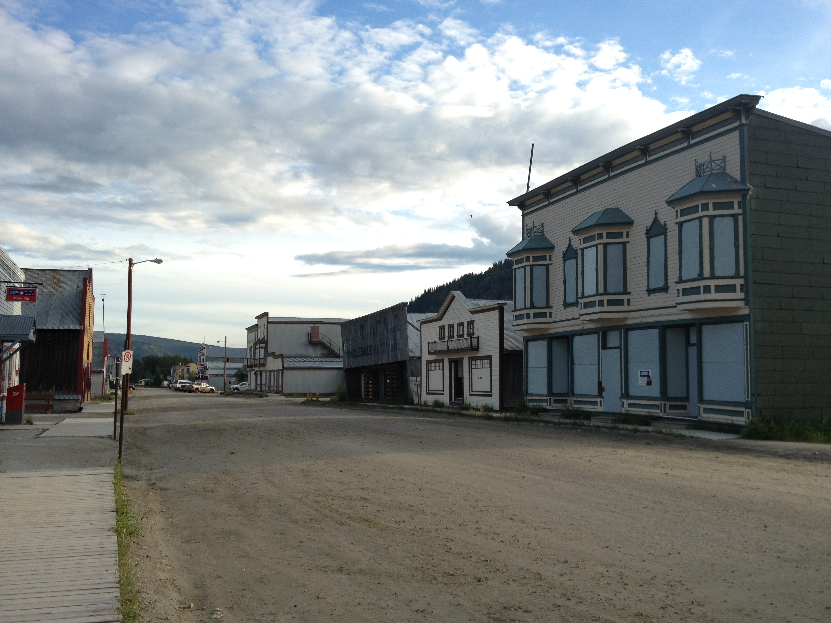
Dawson City is of course an iconic gold rush town, and it has not forgotten its history (or the reason so many tourists visit here). The streets are dirt, the sidewalks plank, and the buildings are a combination of actual historic structures and modern versions of the same, complete with colourful false fronts and swinging saloon doors. There are sufficient shops, galleries, and decent restaurants scattered around town to provide a solid couple of days’ amusement, along with an excellent museum filled with details about the gold rush and the history of the town. You can also visit the cabin in which the poet Robert Service lived; we stopped by briefly for a photo op on our way out of town, and had to wait until a highly unromantic woman with a vacuum cleaner had left the porch!
There is a nice walk along the riverfront, and while the sun does set here in July (unlike in the high Arctic), it doesn’t happen until around 11:30, which must have been an astonishing thing for the gold hunters from California in the old days.
We spent part of our full Dawson day on a divergent road trip to the Alaska border, along the stunning Top of the World Highway. To get to the highway (and to the border), you have to cross the Yukon River on a ferry. Twenty years ago, we camped out at Dawson, at a nice campground on the far side (we had come from there), and at that time it was pretty much a drive-up-and-drive-on experience. Not so nowadays, when a daily traffic jam of RV’s lines up every morning on both sides of the river (mostly tourists from Alaska). Some of these vehicles must wait half the day, as the ferry is small and only takes a few large vehicles at a time. Luckily for us, however, they were sandwiching smaller vehicles in with the big ones, and there were far fewer cars, so we got across right away.
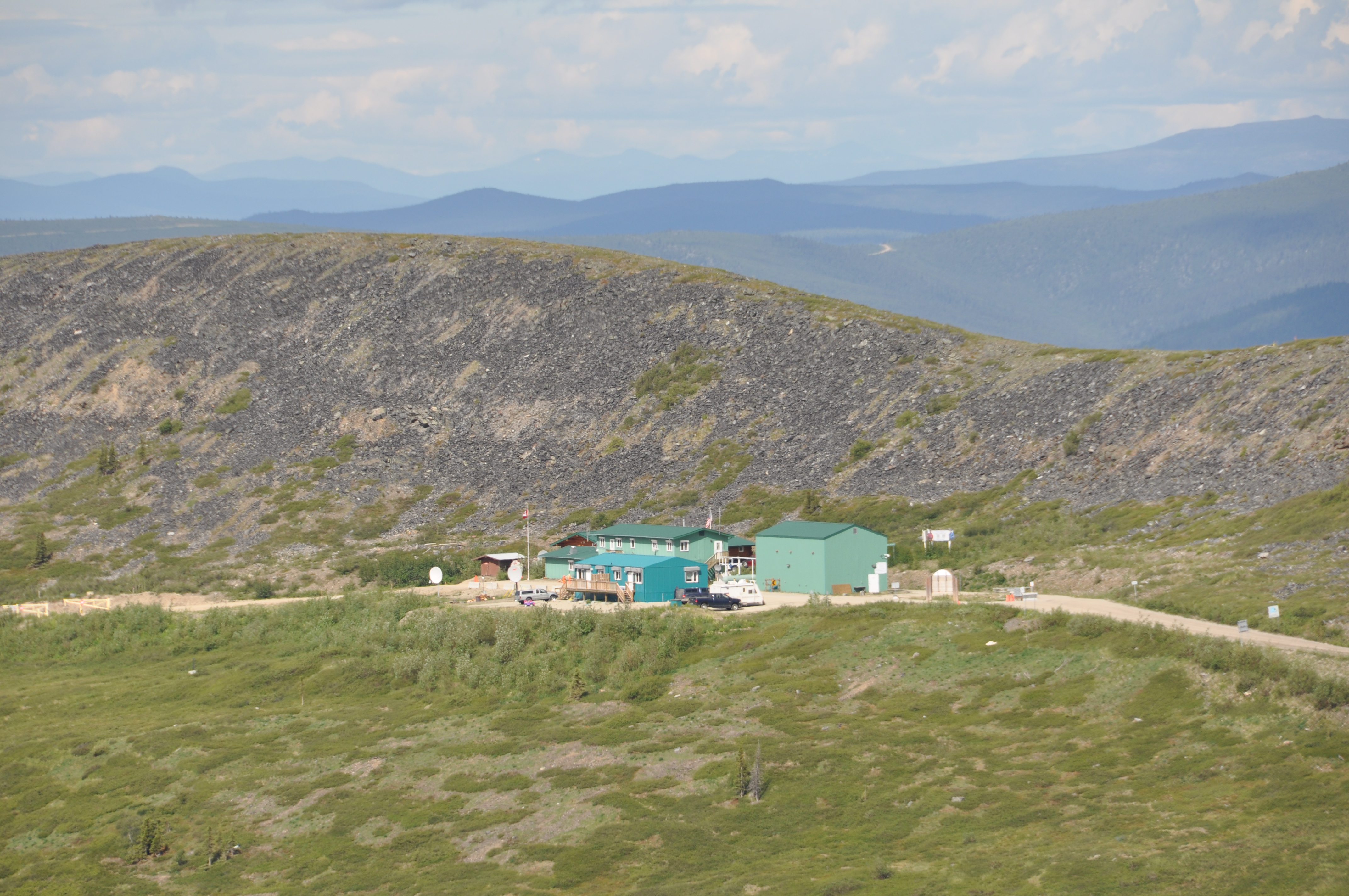
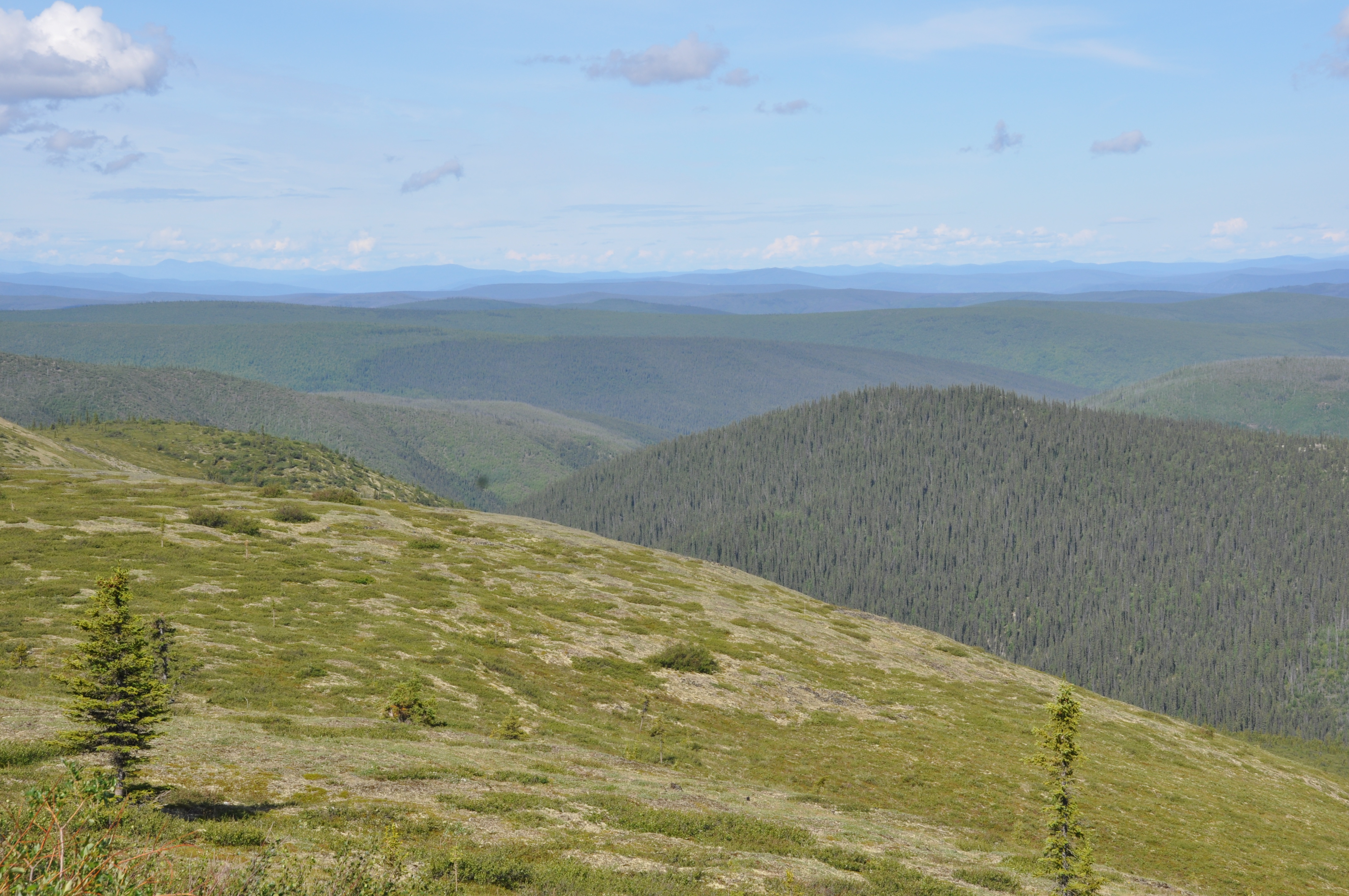
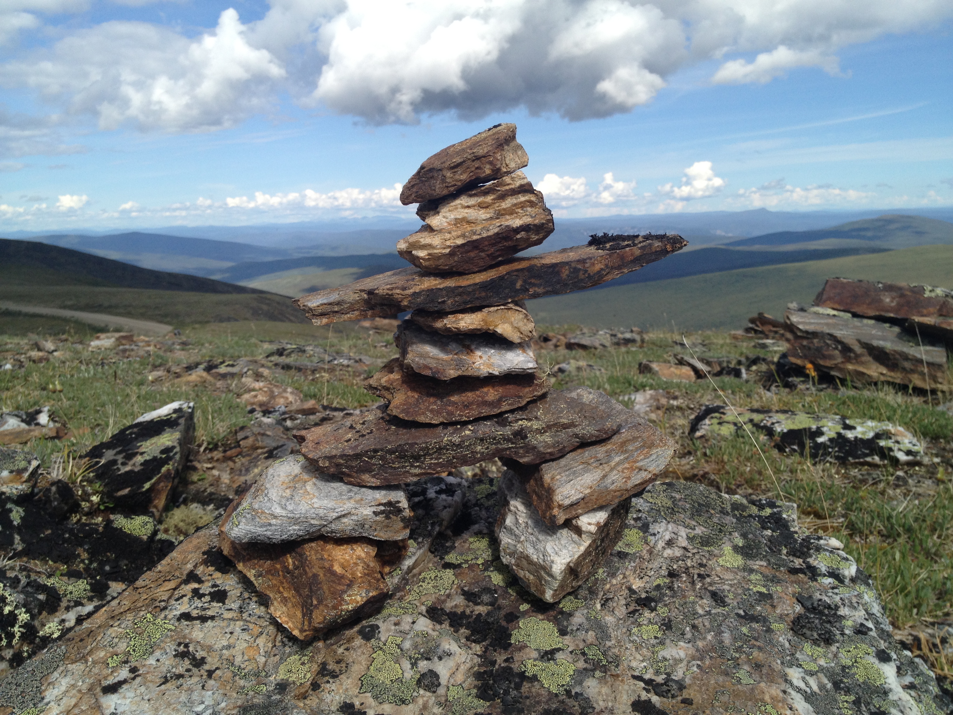
The sun was shining over the amazing vistas that I still remembered from twenty years ago. The sense of space is hard to describe, as hill after hill rolls away from the highway into the distance in both directions. We stood at a roadside marker, looking out at the view and singing Imagine Dragons’ catchy song, “I’m On Top of the World.” (It couldn’t be helped!) Coming down the Dempster the previous day, we had encountered an intrepid motorcyclist, and we saw him again today, taking pictures of flowers and looking like he was having a great time. In the hills above tiny, remote border crossing, we took a mini hike through the stony terrain to look at the views, and added an inukshuk to a collection of them that people had left behind.
It was a lovely, stress-free drive with no goal other than to get there and back, and look at the some of the most beautiful views we have ever seen.
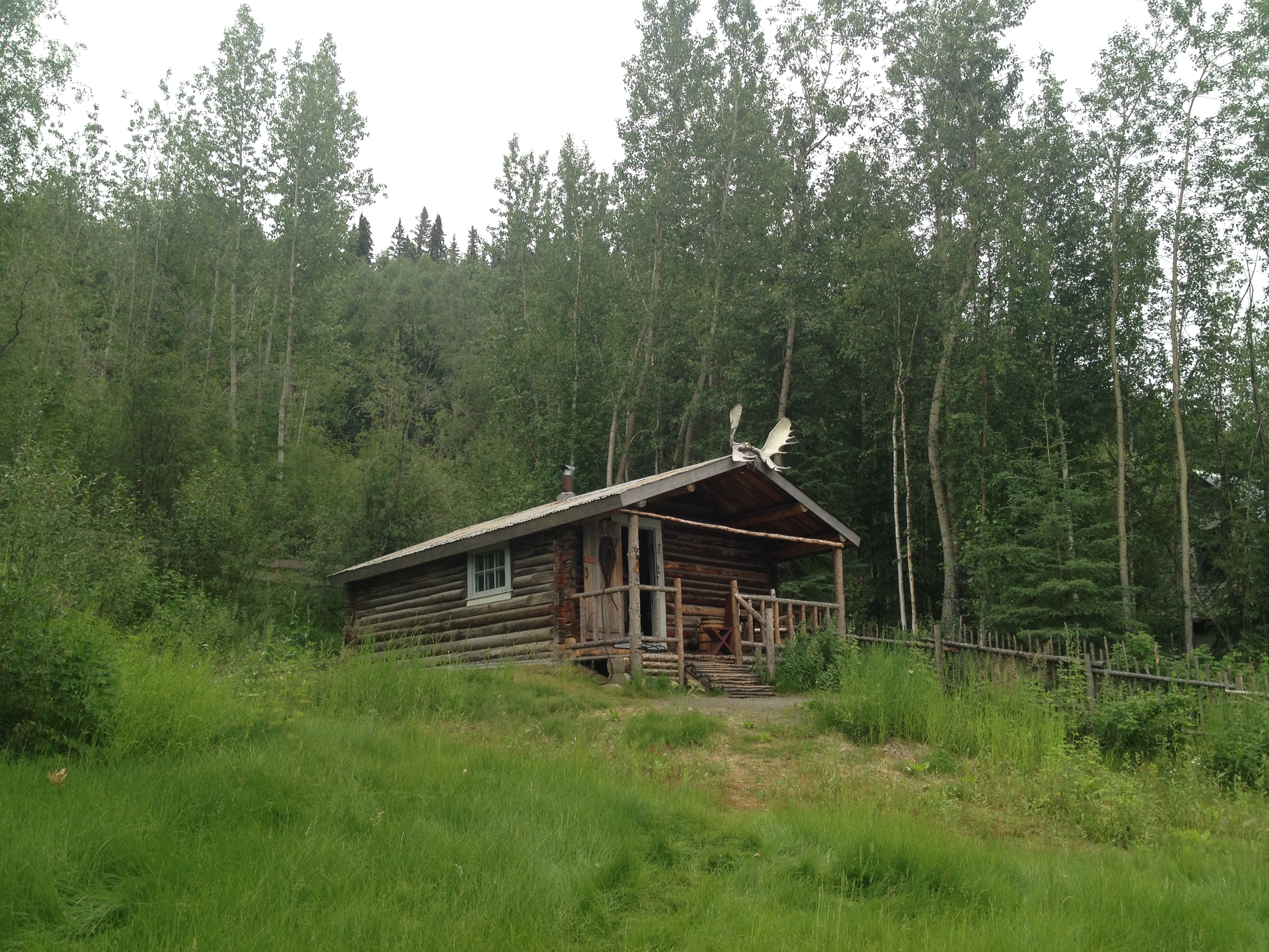
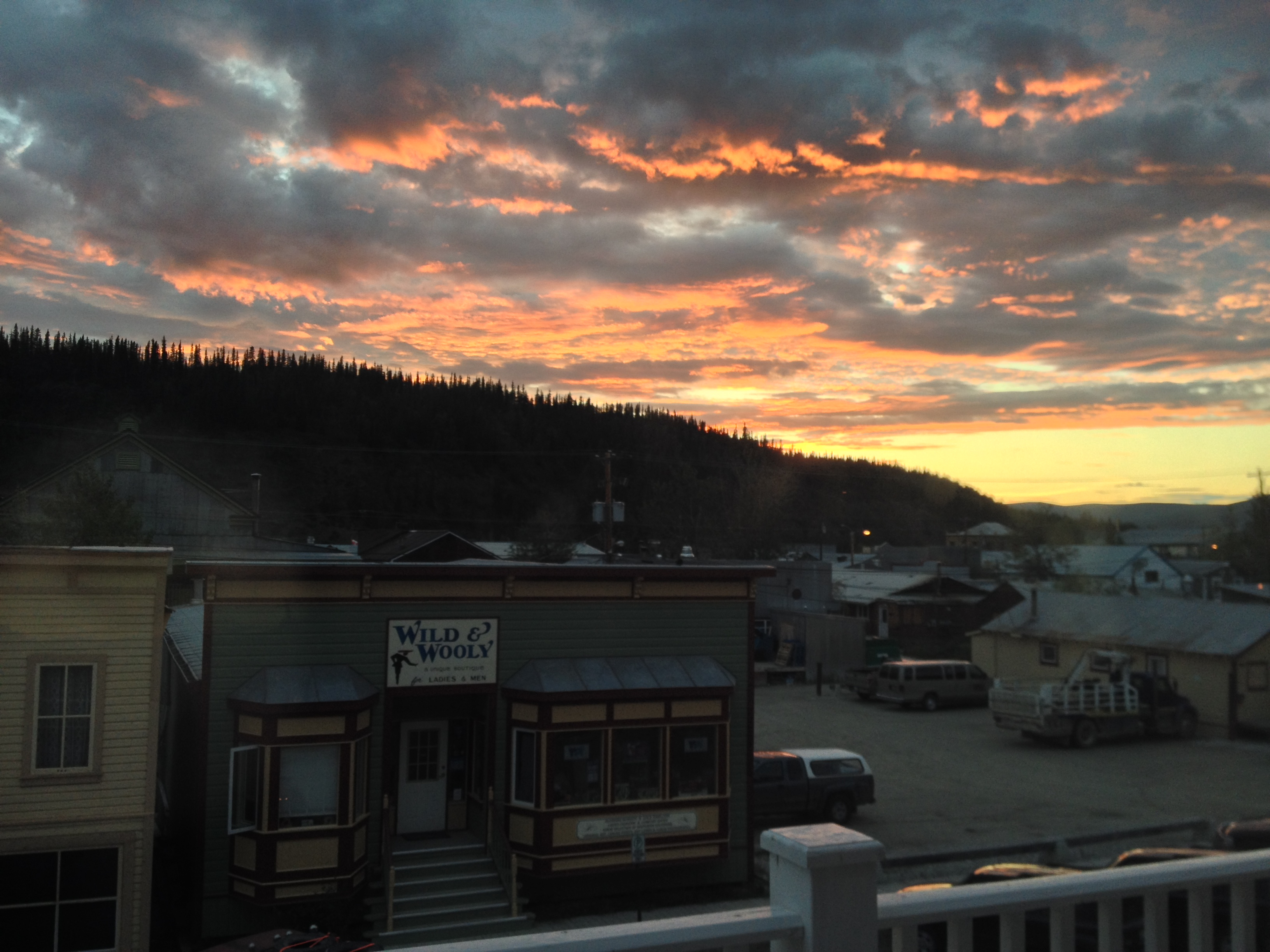
Photos: the Yukon River; Montague House; french fry truck in Carmacks; Dawson City; Robert Service’s cabin; sunset over Dawson City; view from the Top of the World Highway; Canada-U.S. border crossing; inukshuk (Photos 2, 5, 8 B. Wilkes; photo 3 N. Wilkes)